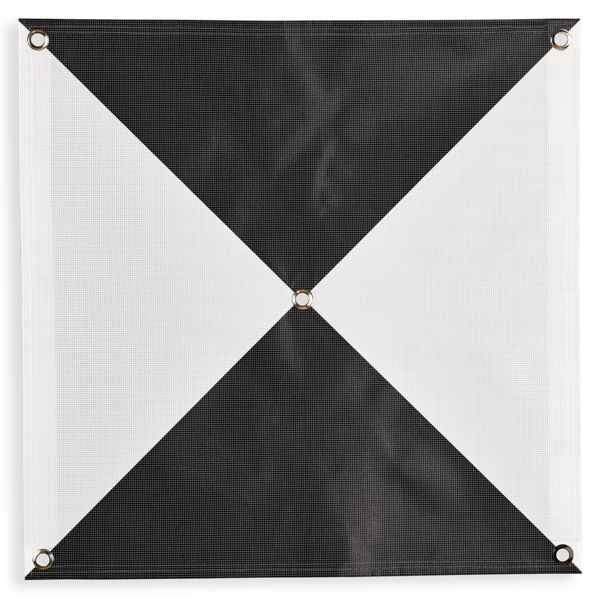
Enhanced Field Coordination: These UAV aerial drone center eyelets numbered survey markers enable effortless identification and precise coordinate tracking, streamlining your operations in the field. Easily locate and reference specific points during mapping missions. Optimal Visibility: The black/white color scheme in these uav drone aerial targets is specifically designed to ensure excellent target visibility even in bright and challenging lighting conditions. Maintain clear visual reference points for accurate data collection. Secure Ground Placement: Equipped with four corner eyelets, these drone target center points can be conveniently fixed to the ground. This feature guarantees stability during data capture, providing consistent and reliable results. Lightweight Durability: Crafted from a lightweight yet durable material, this ground marker offers long-lasting performance in demanding environments. Its robust construction ensures resistance to wear and tear, making it a reliable companion for your mapping and surveying endeavors. Ideal Size for Versatile Missions: Measuring at a generous 24" x 24", this sky high bulls eye drone GCP offers an ideal size for various drone mapping missions. Its ample surface area allows for precise data collection, enabling comprehensive and accurate surveying results. Compatible with popular software such as Pix4D and DroneDeploy, these ground markers ensure seamless integration into your existing workflow. Finally a Ground Control Point (GCP) to meet any UAV Pilot's needs. Never tear your GCP again when placing your surveying rod into the center of the target. With this GCP, simply insert the tip of your surveying rod into the center eyelet for a precision measurement every time. Due to an increase in boundary length, the iron cross design allows for more accurate maps when compared to the square alternative. With a durable mesh design, this GCP can be reused countless times. Never dread carrying a large GCP around with you again. These lightweight, foldable GCPs are easy to transport and carry. If the wind is a concern, simply use the 4 corner eyelets to anchor the GCP to the ground to ensure that the GCP stays in place. With this iteration of our GCPs, we increased the size to 48 inches x 48 inches at the request of our customers. The large size should be perfect for high altitude mapping projects. The GCPs can also be used as a scale during the reconstruction process of the aerial mapping due to their exact size. Take your drone mapping to new heights today with the Sky High Bull's-Eye GCP 6 Pack!
| Color | Black & White |
| Size | 24in Iron Cross Eyelet (6) |
| Gtin | 0850012878568 |
| Mpn | SP-RR0DS-8UX97HPUTP |
| Age_group | ADULT |
| Condition | NEW |
| Gender | UNISEX |
| Product_category | Gl_biss |
| Google_product_category | Business & Industrial |
| Product_type | Industrial & Scientific > Robotics > Unmanned Aerial Vehicles (UAVs) |